
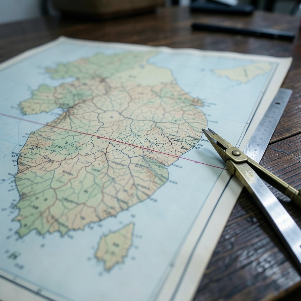
What if a single line drawn on a map in a hurry, by two colonels working late at night, ended up shaping the fate of millions of people for generations? That is essentially what happened with the 38th parallel. It is a line of latitude, 38 degrees north of the equator, that passes through the middle of the Korean Peninsula. On paper it is just a number. In practice it became one of the most consequential geographic lines of the twentieth century, dividing families, creating two rival states, and setting the stage for a war that never formally ended.
This article explains what the 38th parallel actually is, why it was chosen, how it became a border, and why it is so often confused with the line that separates North and South Korea today. It also clears up a few myths that refuse to die.
What the 38th Parallel Actually Is
The 38th parallel north is simply a circle of latitude that sits 38 degrees north of the equator. It is not a river, a mountain range, or any kind of natural boundary. It is an imaginary line drawn by people, and that matters enormously for understanding what happened in Korea.
The line crosses a lot of the world. It passes through parts of the United States, Spain, Italy, Greece, Turkey, Iran, China, and Japan, among others. Nobody in those places treats it as anything special. The line’s fame comes almost entirely from one place: the Korean Peninsula, where it crosses roughly through the middle of the landmass.
That crossing point is where geography met politics, and politics won.
The 1945 Decision That Changed Everything
In the closing days of World War II, the Allied powers had to figure out how to accept the surrender of Japanese forces in Korea, which Japan had controlled since 1910. The United States and the Soviet Union were allies at the time, but they were also already eyeing each other warily.
U.S. officials proposed that Japanese forces north of the 38th parallel surrender to the Soviets and those south of it surrender to the Americans. The proposal is commonly credited to two U.S. Army colonels, Dean Rusk and Charles Bonesteel, who were working under serious time pressure. The Soviets accepted.
Here is the detail that surprises many people: the line was never meant to be permanent. It was a temporary arrangement for dividing military occupation zones so that the surrender could be processed in an orderly way. The plan was for Korea to be reunified eventually. That is not what happened.
Occupation Zones Take Shape
Soviet forces occupied the north. American forces occupied the south. The line quickly hardened into a de facto boundary between two military administrations, and the two sides ran their zones in very different ways. From 1945 to 1948, the parallel functioned less like a line on a map and more like a wall that was slowly being built.
This is a pattern worth noticing in history. Temporary arrangements have a way of becoming permanent when the people in charge find them convenient. (4c hair)
From One Korea to Two States
In 1948, the temporary arrangement gave way to something much more permanent. The Republic of Korea was proclaimed in the south in August 1948, and the Democratic People’s Republic of Korea was proclaimed in the north in September 1948.
The 38th parallel now separated two rival governments as well as two occupation zones. Each government claimed to be the legitimate government of all Korea. That split led to conflict, and conflict came.
The Korean War and the Crossing of the Line
On 25 June 1950, North Korean forces crossed the 38th parallel and pushed south. The Korean War had begun. United Nations forces, led by the United States, intervened on the southern side. Later, in October 1950, UN forces pushed north across the parallel themselves, and Chinese forces then intervened on the northern side.
The war raged for three years. It devastated the peninsula and killed enormous numbers of people, including a large share of civilians. The line that was supposed to be temporary had become the flashpoint for a major international war.
The Armistice Line Is Not the 38th Parallel
This is where a lot of popular explanations go wrong, so it deserves its own section. Many people casually say the 38th parallel “divides North and South Korea today.” That is not accurate.
The Korean Armistice Agreement, signed on 27 July 1953, established a Military Demarcation Line and a Demilitarized Zone roughly 2 kilometers wide on each side. The DMZ follows the front line as it stood when the armistice was signed. That front line does not follow the 38th parallel.
In fact, the armistice line runs mostly north of the 38th parallel on the eastern side of the peninsula and south of it on the western side. It is a wavy line that reflects where troops actually stood, not a neat circle of latitude. Confusing the two is one of the most common mistakes people make when reading about Korea.
| Feature | 38th Parallel | Armistice Line (MDL) |
|---|---|---|
| What it is | A line of latitude | A military front line frozen in 1953 |
| When it mattered most | 1945 division, 1950 crossing | Since 27 July 1953 |
| Shape | A straight circle of latitude | Irregular, follows troop positions |
| Purpose | Temporary occupation zones | Ceasefire boundary with a DMZ |
| Still a border today? | No | Yes, in effect |
A quick way to remember it: the 38th parallel was the line of division in 1945 and the line that was crossed in 1950. The armistice line is the line that exists now. (The row)
Why the 38th Parallel Still Matters
Even though the 38th parallel is no longer the actual border, it remains one of the most recognizable geographic references in the world. It shows up in news coverage, history textbooks, documentaries, and everyday conversation as shorthand for the division of Korea.
That shorthand has real costs. When people conflate the 38th parallel with the DMZ, they lose the ability to understand what actually happened and why the current situation is so complicated. The Korean War ended in an armistice, not a peace treaty. That distinction matters, and it is easier to grasp once you separate the 1945 line from the 1953 line.
The parallel also serves as a useful case study in how geography and politics interact. A line of latitude has no inherent meaning. It becomes meaningful only when people assign meaning to it, usually under pressure and often in a hurry.
Common Mistakes People Make
A few errors come up again and again when people discuss this topic. Knowing them in advance saves a lot of confusion.
- Assuming the 38th parallel is still the border. It is not. The armistice line replaced it as the effective boundary in 1953.
- Thinking the line was chosen for natural reasons. It was not. It was a military and political convenience, drawn without much regard for rivers, mountains, or local communities.
- Believing the division was always meant to be permanent. The original plan was temporary occupation zones, with reunification as the stated goal.
- Confusing the DMZ with the parallel. The DMZ is a buffer zone along the armistice line, not a band around the 38th parallel.
- Assuming the line only matters in Korea. The latitude crosses many countries, but its global fame comes almost entirely from the Korean case.
Getting these right makes any discussion of Korean history clearer and more accurate.
How to Read About the 38th Parallel Without Getting Lost
If you are reading a news article, a textbook, or a documentary about Korea, a few practical habits help you keep things straight.
First, check the date being discussed. If the year is between 1945 and 1950, the 38th parallel is probably the relevant line. If the year is after 1953, the armistice line and the DMZ are almost certainly what is meant.
Second, watch for the phrase “divides Korea.” It is technically true in a loose historical sense but misleading in a present-day sense. A careful writer will distinguish between the two lines.
Third, treat any map as a claim, not a fact. Maps reflect choices about what to show and what to emphasize. A map that shows the 38th parallel running straight across the peninsula is showing you a historical line, not a current border. (2b hair)
These small habits make a big difference. They turn a confusing topic into a manageable one.
Frequently Asked Questions
Is the 38th parallel still the border between North and South Korea?
No. The effective boundary today is the Military Demarcation Line established by the 1953 armistice, surrounded by the Demilitarized Zone. The 38th parallel was the division line in 1945 and the line crossed at the start of the Korean War in 1950, but it is not the current border.
Why was the 38th parallel chosen instead of a natural boundary?
It was chosen quickly for military and political convenience during the surrender of Japanese forces at the end of World War II. The goal was to divide occupation responsibilities between the United States and the Soviet Union, not to draw a sensible geographic border. Natural features like rivers and mountains were not the deciding factor.
Did the Korean War start at the 38th parallel?
Yes, in the sense that North Korean forces crossed the 38th parallel on 25 June 1950, which marked the start of the war. Later, UN forces crossed the parallel northward in October 1950, and Chinese forces intervened. The fighting eventually settled near where the armistice line was drawn in 1953.
What is the difference between the 38th parallel and the DMZ?
The 38th parallel is a line of latitude. The DMZ is a buffer zone, roughly 2 kilometers wide on each side of the Military Demarcation Line, created by the 1953 armistice. The DMZ follows the armistice line, not the 38th parallel, and the two lines do not overlap in a simple way.
Does the 38th parallel cross other countries?
Yes. The 38th parallel north crosses parts of the United States, Spain, Italy, Greece, Turkey, Iran, China, Japan, and other countries. It is an ordinary line of latitude everywhere except in the Korean context, where its political history made it famous.
Was Korea always meant to be divided?
No. The original 1945 arrangement was intended as a temporary division of military occupation zones, with reunification as the stated goal. The division hardened into two separate states in 1948, and the Korean War cemented the split. The armistice of 1953 froze the military situation but did not produce a peace treaty.
Conclusion
The 38th parallel is one of those rare geographic features that became famous for reasons that have almost nothing to do with geography. A line of latitude, drawn in haste in 1945 as a temporary way to divide military occupation zones, ended up separating two rival states and setting the stage for a devastating war.
The most important thing to take away is the distinction between the 38th parallel and the armistice line. The parallel was the division line of 1945 and the line crossed in 1950. The armistice line, established in 1953 and surrounded by the DMZ, is the boundary that still exists today. They are different lines, and confusing them leads to a muddled understanding of one of the world’s most enduring standoffs.
Understanding the 38th parallel is really about understanding how quickly temporary decisions can become permanent realities. Two colonels working under deadline pressure drew a line on a map. Decades later, that line still shapes how millions of people live. That is a sobering reminder of how much weight a simple line can carry.